- GRAND TOUR OF UNESCO SITES


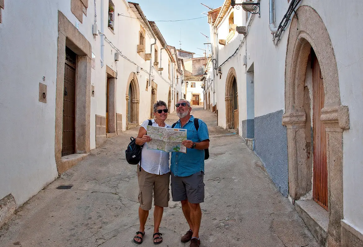
🚩 Km 0 · Valencia de Alcántara
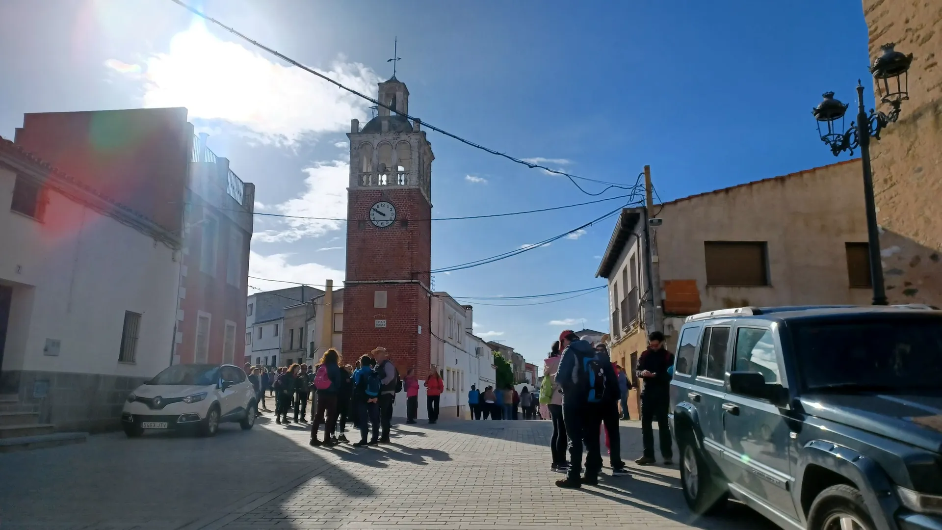
Start with a walk… The Gothic Quarter of Valencia de Alcántara
266 Gothic doorways make this neighbourhood the largest Sephardic labyrinth in the province. This is where the road trip begins: getting a little lost is all part of the plan.
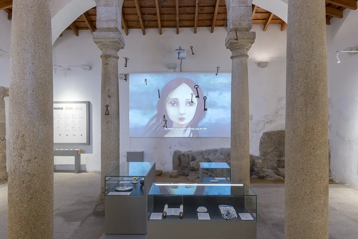
🖐 Km 0 · Valencia de Alcántara
To understand the Gothic Quarter, the heart of Sephardic culture
After exploring the neighbourhood, it’s time to find out who lived here and what their lives were like. A brief journey through Sephardic history before leaving Valencia. And no time machine required.
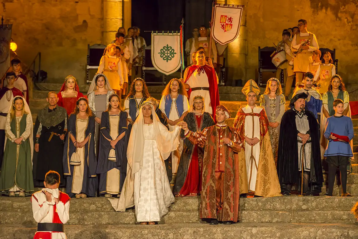
⛪ Km 0 · Valencia de Alcántara
Rocamador Church
Rocamador provides a monumental finale to our tour of Valencia. After centuries of watching travellers, kings and borders come and go, we’ll just ask you to spare a few minutes before we set off. Remember, it’s a Site of Cultural Interest.

🚗 Km 02 · Drive carefully and stick your arm out with caution
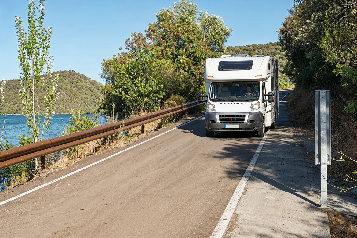
Along scenic roads
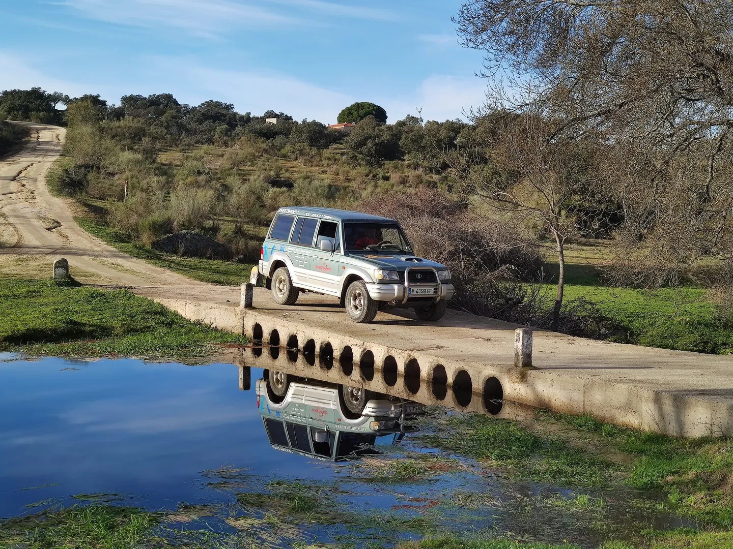
Now the road begins. There’s no need to rush anywhere: the countryside, the rocky outcrops and the pastures are all part of the route. If you see something you like, you stop. It’s as simple as that.
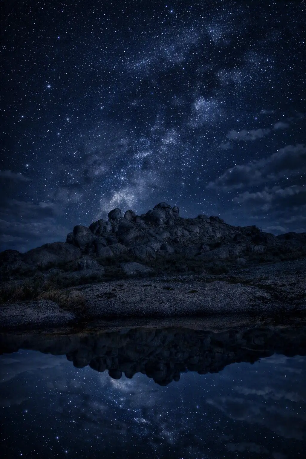
🚶♂️➡️ Km 12 · A great walk
Berrocal de La Data Natural Monument
This ought to be one of the best photos of the day. Granite boulders, pastureland and impossible shapes. The rocky outcrop at La Data looks like the work of someone who was given too much granite and decided to use it all up. And, well, it turned out rather well.
🚶♂️➡️ Km 14 · First walk
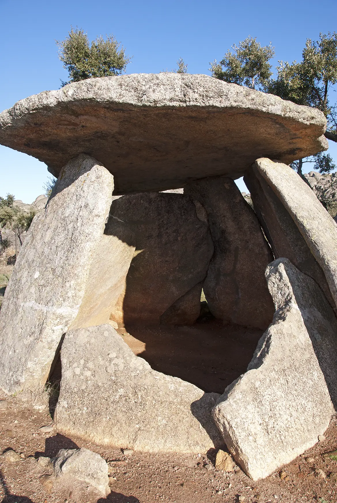
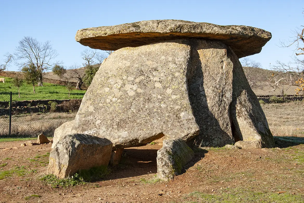
Twin Dolmen
El Mellizo is one of the finest examples of megalithic architecture in the area. Its enormous granite “beret” has stood here for thousands of years. We’ll reach it via a narrow path after leaving the car for a moment.
🚶 Km 26 · Walking experience
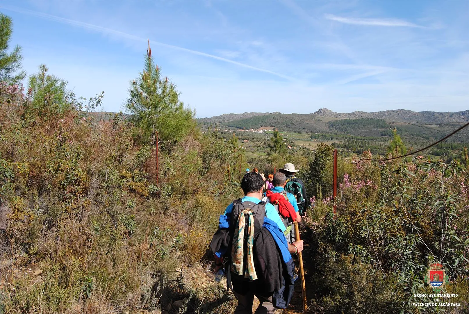
PR-CC 88 Cross-Border Route
The PR-CC 88 trail winds its way through the megalithic landscape of Valencia de Alcántara, taking in pastures, granite outcrops and dolmens. You don’t have to walk the whole route: simply choose the section that takes your fancy and let the scenery do the rest.
𐦂𖨆 Km 28 · Rock art
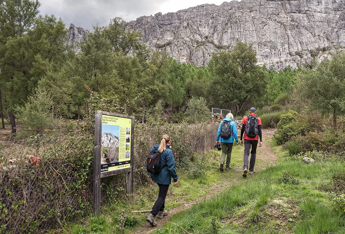
Prehistoric Rock Art Trails: Puerto Roque
A change of scene: now the stories are painted on the rock. Puerto Roque still preserves examples of prehistoric rock art. Our ancestors were already decorating the walls. We’re still doing the same, but with a mortgage.
⚡ Km 35 · Time to sort through what we’ve seen
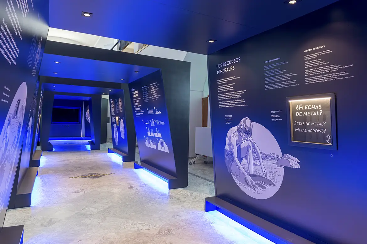
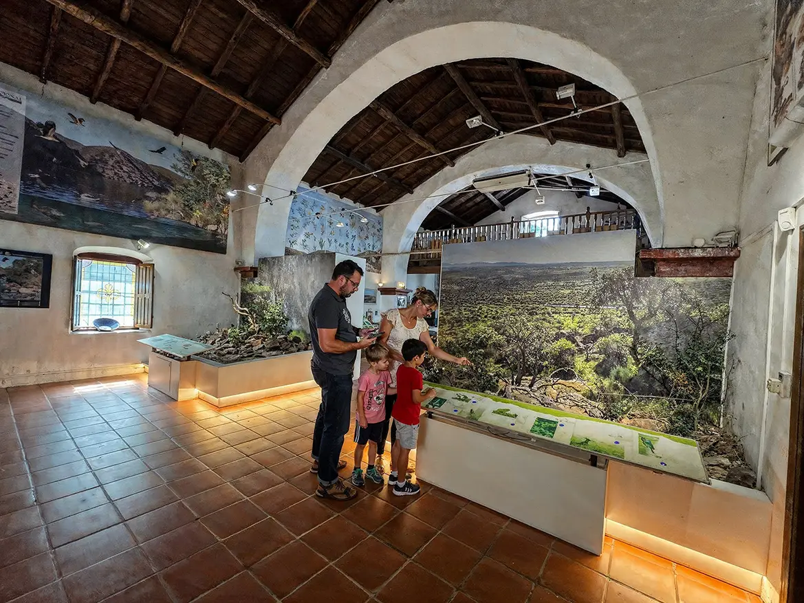
Early Settlers’ Interpretation Centre
After seeing dolmens and rock paintings, it’s time to make sense of everything you’ve just discovered. To do this, we’re heading back to Valencia de Alcántara. The centre helps you understand how the first settlers lived and left their mark.
END
Today we have explored the border from the mainland: medieval streets, Sephardic heritage, dolmens and paths that have connected this region for thousands of years. Tomorrow we will head towards the Tagus. And there we will realise that a border can also be a shared landscape. The river awaits us.

 Spanish
  English