
- 2 days
- 96 / 68 km.
- By car / motorbike
There are journeys that begin on a road and end in a landscape. This one begins in Alcántara, amongst rocks that have been here for centuries, and ends in Monfragüe, where it’s worth looking up. Or in every direction.
Along the way, you’ll come across dolmens, castles, rivers, pastures and border villages. The road shifts from history to the countryside almost without warning. And when you reach the Tagus, it’s time to change pace: walk, sail, look up.
Two days to explore part of the region at your own pace, with some unmissable stops and others that could well become the highlight of the trip.
___
➸ DAY 01 (96 km) · See map
Alcántara → Zarza la Mayor → Portezuelo
➸ DAY 02 (68 km) · See map
→ Mirabel → Serradilla → Malpartida de Plasencia

Rome left a bridge here
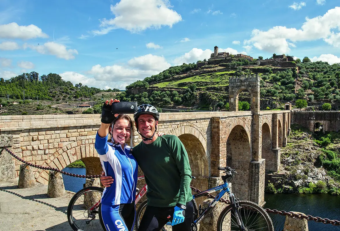
The perfect start. Rome left behind a bridge here that has been serving as a bridge for almost two thousand years. And what a bridge it is. But Alcántara is much more than just its bridge: stately streets, the Convent of San Benito, the legacy of the Order of Alcántara, and a history that can be explored at a leisurely pace on foot.
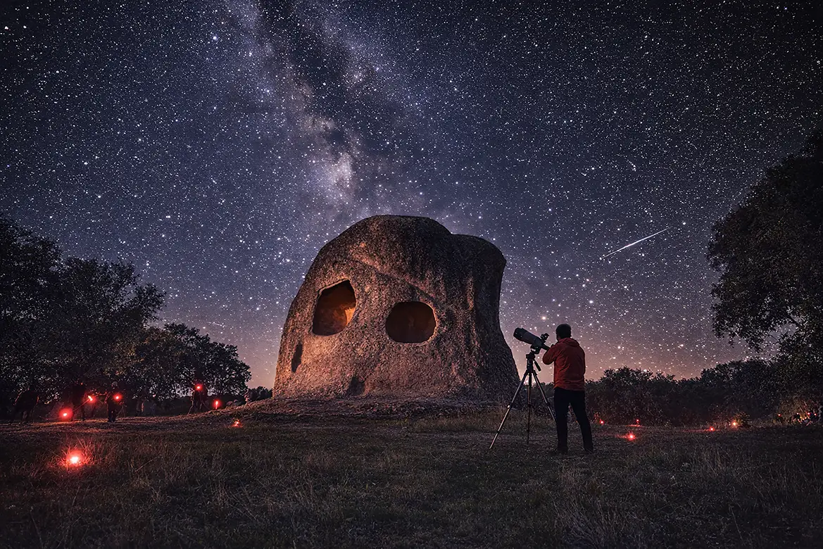
Silence, Peña Buraca
There are places that work precisely because they don’t seem to have been designed for tourism. The Buraca rock formation is one of them. Rock, scenery and a touch of mystery. Just enough to make you stop, look around and wonder what on earth happened here. You don’t need to have all the answers. Sometimes, that’s part of the journey too.
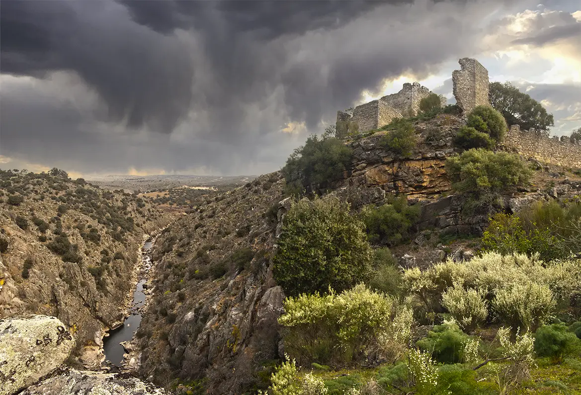
Zarza la Mayor and a castle overlooking the neighbouring village
We arrive in Zarza la Mayor and the landscape begins to tell a different story. Peñafiel Castle, also known as Racha Rachel, overlooks the River Erjas as if keeping watch for centuries were the most natural thing in the world. And, in fact, it almost is. For a long time, this border was a place of transit, conflict, trade and smuggling. Today, we can explore it with far greater peace of mind.
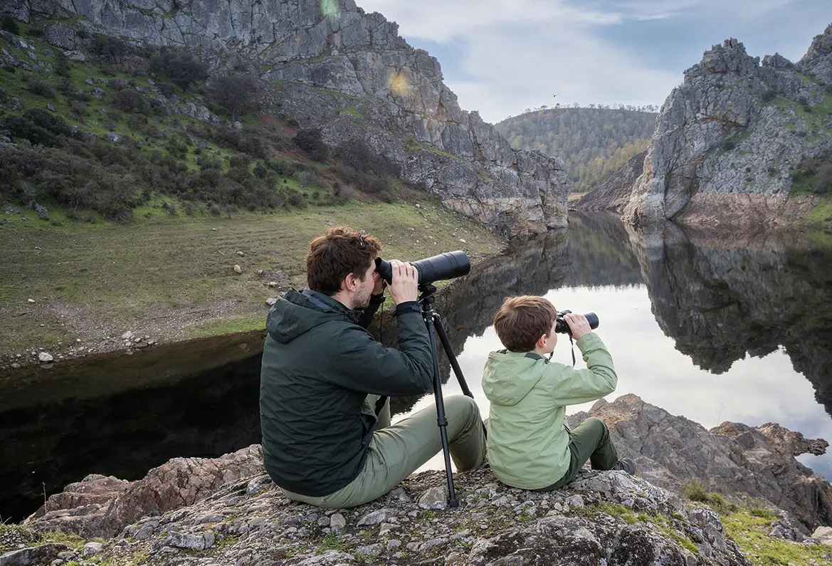
If Ramiro’s pots could talk
From here on, we stop looking at what we have built and start looking at what the Earth has built. Ramiro’s rock formations offer a glimpse of what lies ahead. The stone ceases to be a bridge, a dolmen or a fortress and begins to become part of the landscape. Towering quartzite walls, a river, pastureland and a wealth of biodiversity that make this place one of the route’s most spectacular natural settings.
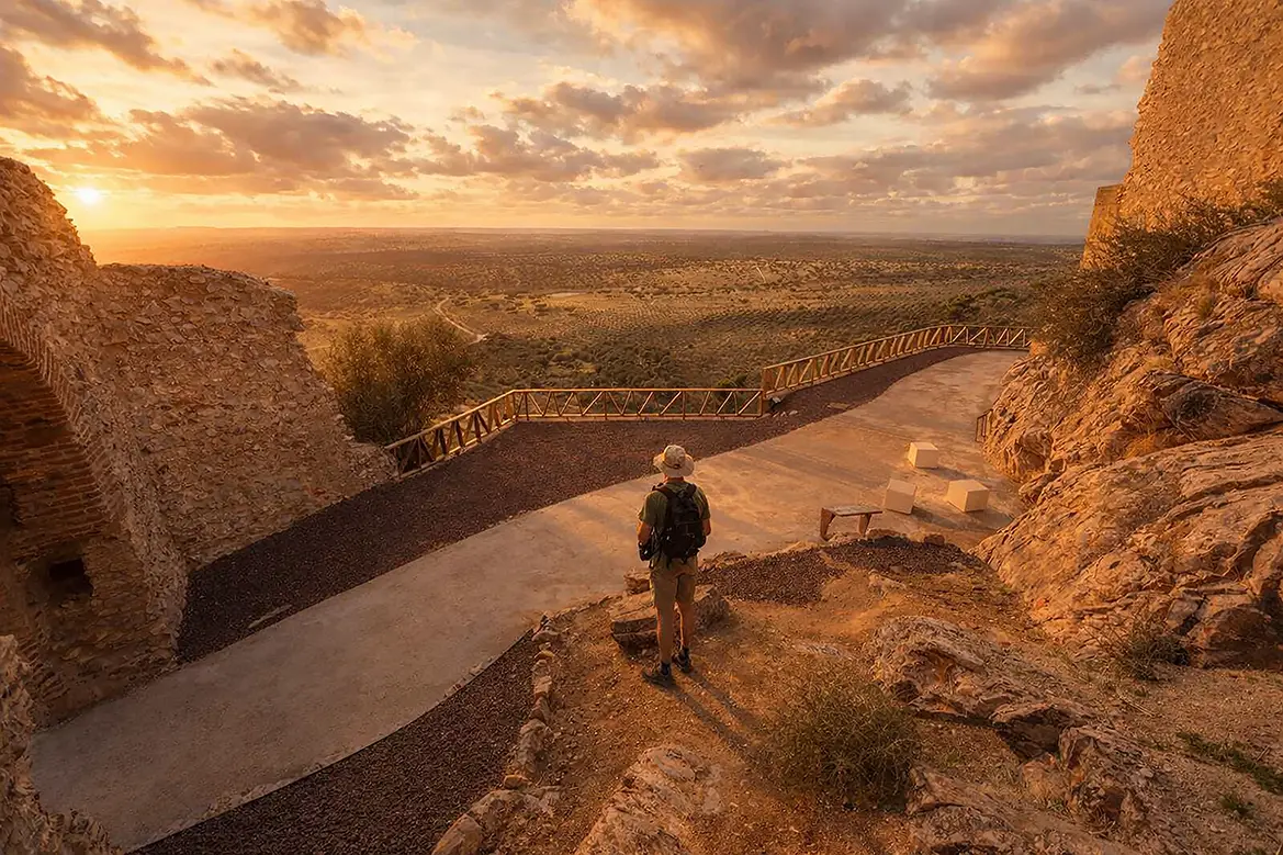
Portezuelo Castle
Another castle. Another story. And a rock that’s a few million years old. Marmionda Castle dominates the landscape of Portezuelo and adds another layer of history to the route. Legend speaks of love, tragedy and unhappy endings. Geology, meanwhile, carries on regardless. The spectacular Armorican quartzite serves as a reminder that long before there were castles, borders or legends, things were already happening here. And quite significant ones at that.
END
This is a good place to stop. To look back and reflect on the journey: we have left the Tajo Internacional behind and are now on the outskirts of Monfragüe. Tomorrow, the road will continue towards Mirabel, Serradilla and the heart of the biosphere reserve, amidst quartzite formations, dehesas and sweeping landscapes. That’s enough for today. The castle has already served as a lookout and is beginning to catch sight of large birds of prey in flight.
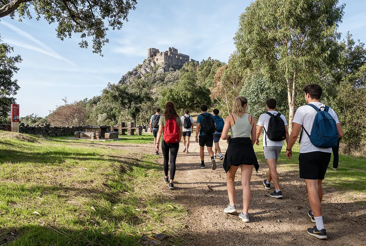
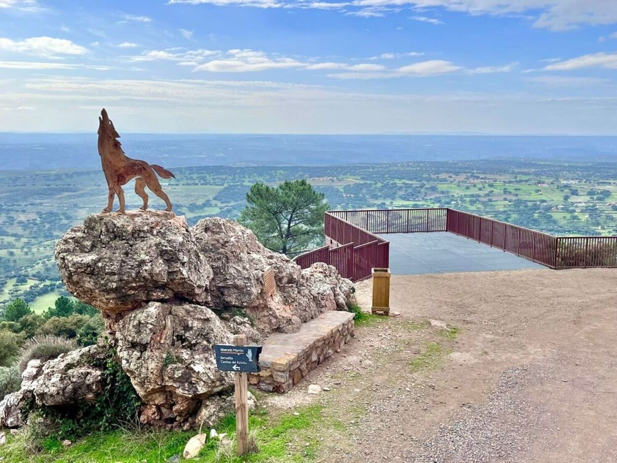
Mirabel and its unique trees
Three wonderful surprises await you here: first, the medieval castle; second, a little further down, the pastureland with two remarkable trees, the ‘Padre Santo’ and the ‘Dehesa’; and finally, the Umbría de Barbechoso footpath, in case you’re still craving a bit more Mediterranean woodland.

The gifts of Serradilla
Before we head out into the countryside, it’s worth stopping off at Serradilla. TOP → The Cristo de la Victoria sanctuary, the ‘Huella del Hombre’ interpretation centre and the Garganta del Fraile trail (recognised as Spain’s Best Certified Trail in 2022).

The Tagus by boat
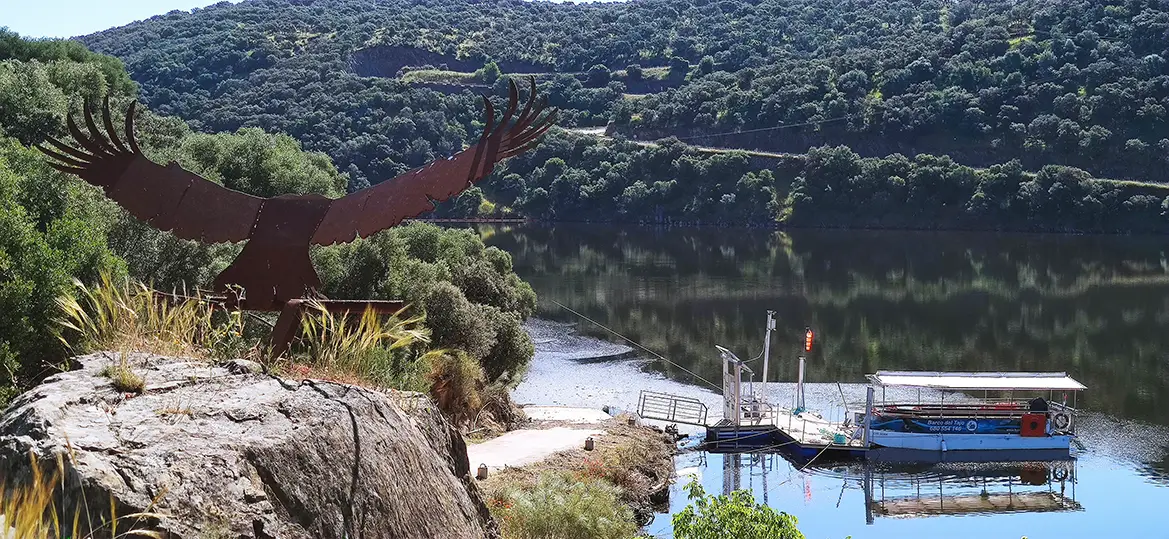
One of the best ways to get to know Monfragüe is to leave the road and head out onto the river. From Serradilla, there are boat trips on the Tagus that allow you to get close to a landscape that is hard to see from land and to observe the surroundings without disturbing the peace and quiet.

Monfragüe Castle
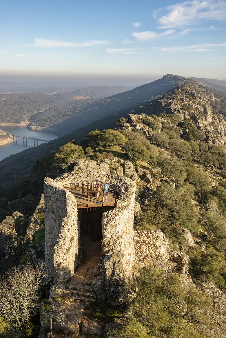
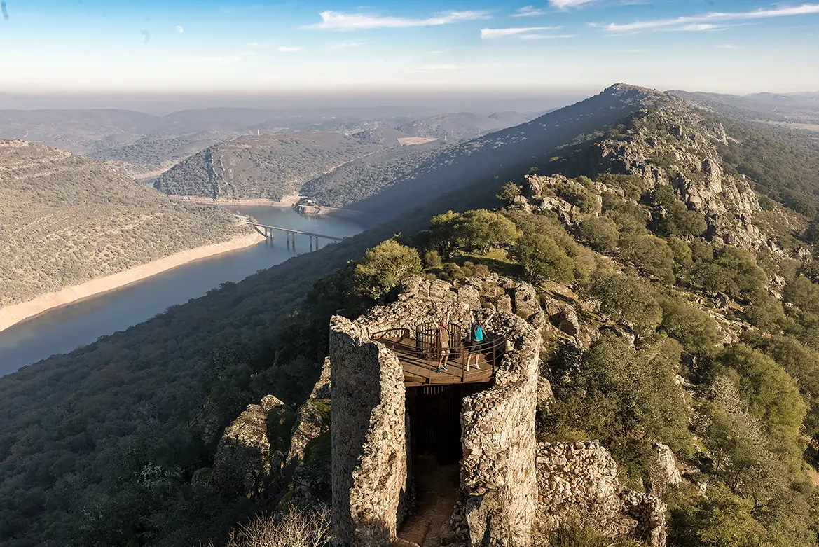
It overlooks the landscape from above and offers one of those panoramic views that explain why this place is so highly regarded. From here, the Tagus, the rocky outcrops and the Mediterranean woodland form a landscape that is hard to argue with. → TOP: head to the viewpoint overlooking Peña Falcón. The fertile eyes.

Peña Falcón and the Salto del Gitano
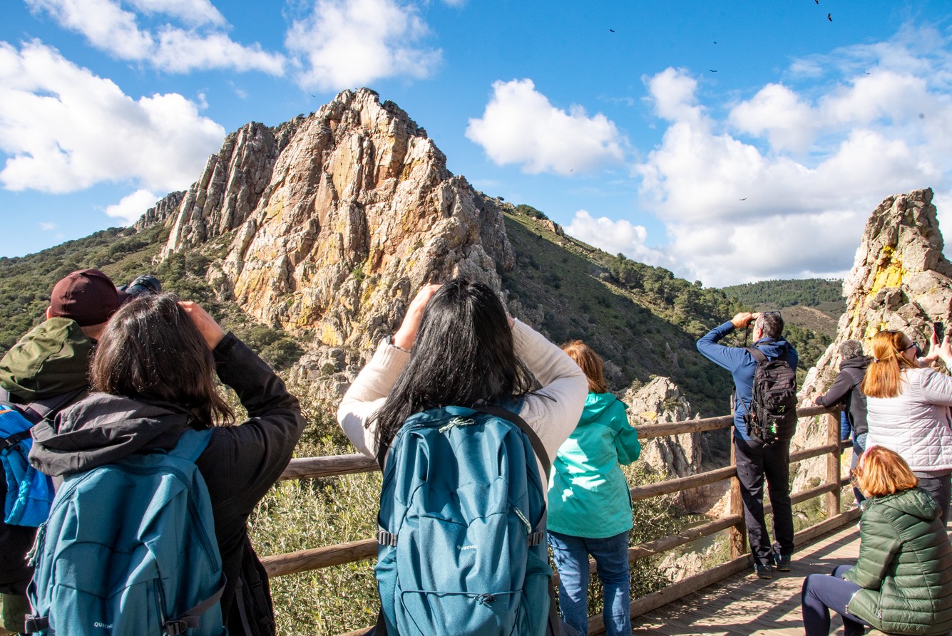
We arrive at one of Monfragüe’s great natural spectacles. Peña Falcón, opposite the Salto del Gitano, is home to griffon vultures, black vultures, black storks, Egyptian vultures and other large birds of prey. → TOP: bring your binoculars. And be patient. Birds don’t stick to office hours.

A population within a national park
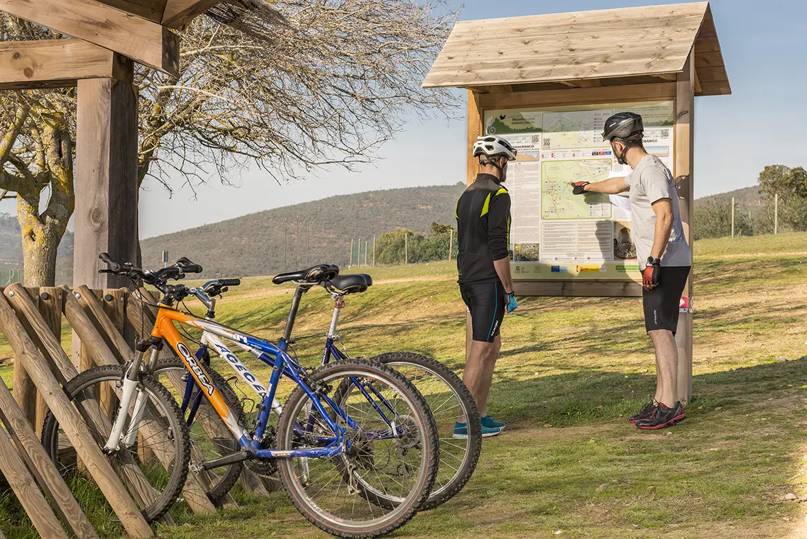
Villarreal de San Carlos is a small village that serves as one of the key hubs for exploring Monfragüe National Park. Here, we can stop off, find out about the walking routes and gain a better understanding of the area we’ve just passed through. Because after seeing it from the road, perhaps it’s time to go for a short walk. → TOP: Monfragüe has several signposted trails and different ways to explore it, depending on the time available and each traveller’s preferences.

Jesús Garzón North Interpretation Centre
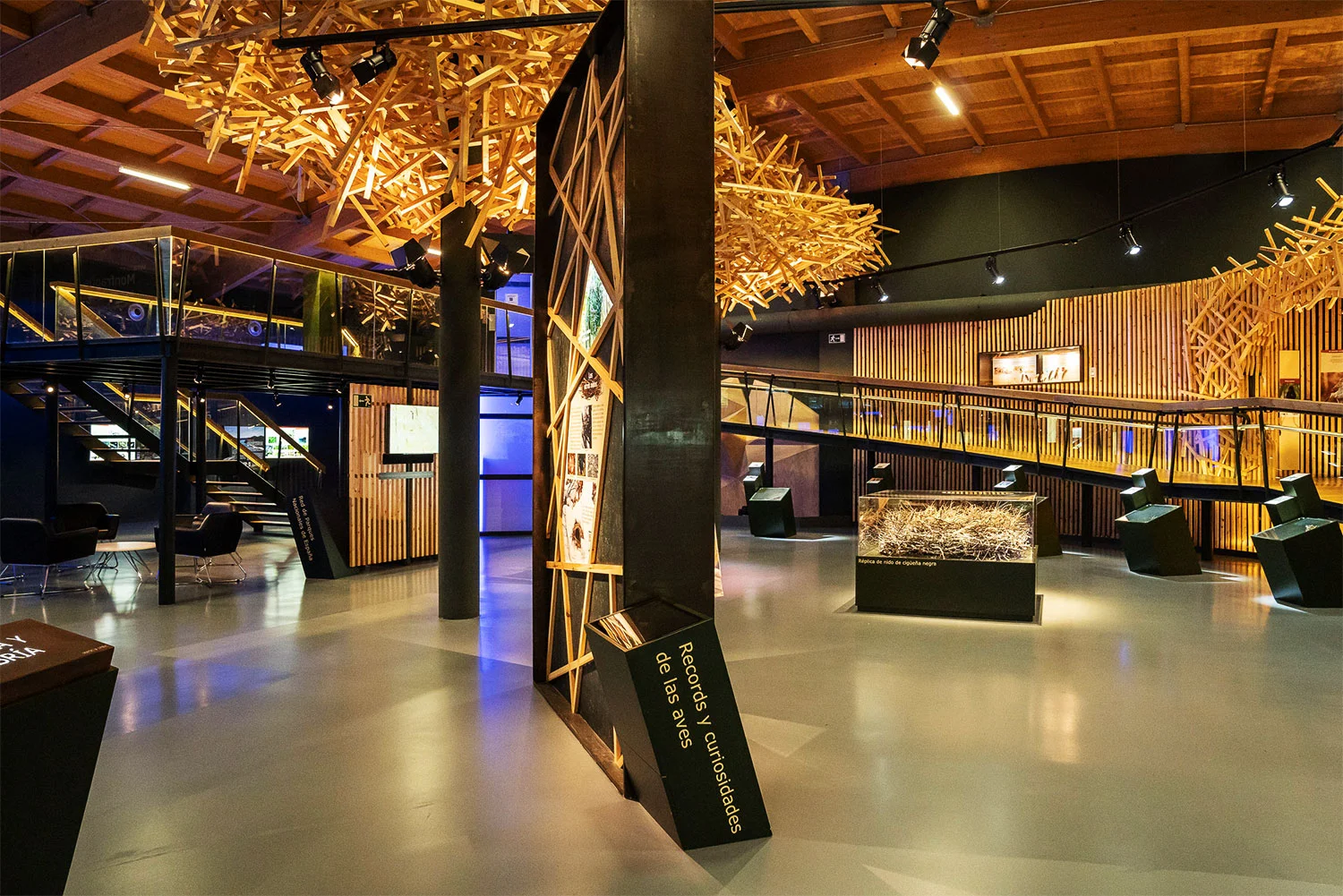
After two days following the course of the Tagus, passing through pastures, gorges and mountain ranges, and looking up at the sky more often than we’d planned, we arrived at the Jesús Garzón North Interpretation Centre. It’s a good place to put a name to everything we’ve seen and understand why this landscape deserves to be looked after.
END
We set off from La Raya, where the Tagus forms the border, and ended up in Monfragüe, where the river, the dehesa and the Armorican quartzite tell the story of years of evolution. In between, we’ve come across Roman bridges, villages, castles, winged rock formations, trees steeped in history and a few bends that weren’t on the map.