- GRAND TOUR OF UNESCO SITES


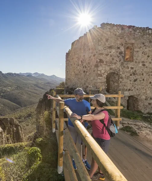
🚩 Km 0 · We start at a castle
Cabañas del Castillo Castle, Cabañas del Cas…
Sorry: Cabañas (del Castillo) Castle. The climb from the village (barely 600 m) isn’t for everyone, it’s true; it’s short but very steep — you’ll need to use your hands on some sections — but with a little effort you’ll make it, because it’s well worth the effort. From its viewpoint, you can see the imposing Santa Lucía syncline and even the Villuercas peak, which you’ll be heading to next.
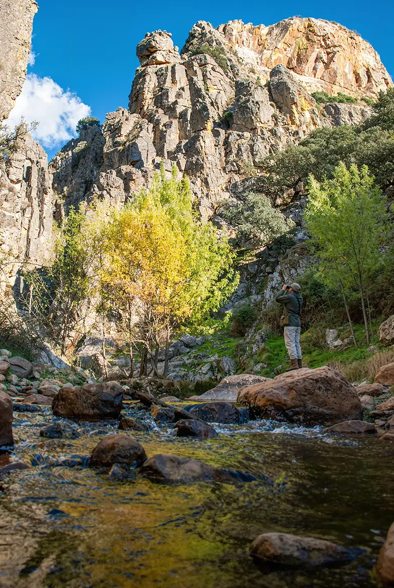
🚶♂️➡️ Km 5 · Well, yes, it’s very crowded
The Cramps
Next stop (5.3 km) at this geosite, which, as its name suggests, is rather cramped: a formidable gorge carved out by the River Almonte in the hard quartzite, featuring a large ‘knee-shaped’ fold of the sort you see in books. You can reach its base by walking upstream along the river’s left bank, or view the other side comfortably from a viewpoint beside the road.
😎 Km 11 · Picturesque walls
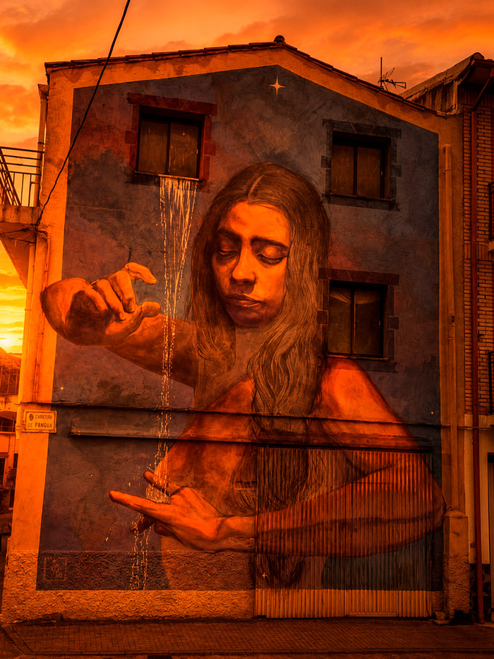
Fancy a bit of street art?
It won’t all be rocks, of course: Roturas de Cabañas (6 km) and Navezuelas (6.5 km) are not only picturesque but also feature some very interesting street art on their walls. It’s well worth stopping off at both villages and taking a stroll through their streets. Oh, and make sure you stock up on their excellent local mountain produce – there are some tough stretches ahead.
🖐 Km 21 · Source of the Almonte
High, high
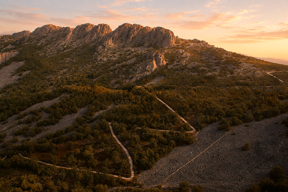
Right then, let’s get on with it. 3.6 km from Navezuelas, a tarmac track branches off to the left, leading to the highest point of the geopark: Villuercas Peak. It’s a gruelling climb (5.3 km), but if the cyclists in the Vuelta a España could manage it, your vehicle certainly can too. We recommend stopping at the Almonte quarry, a landscape as otherworldly as it is spectacular.
🔭 Km 29 · The highest point of the geopark
Villuercas Peak
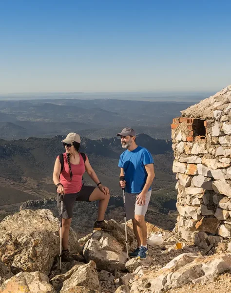
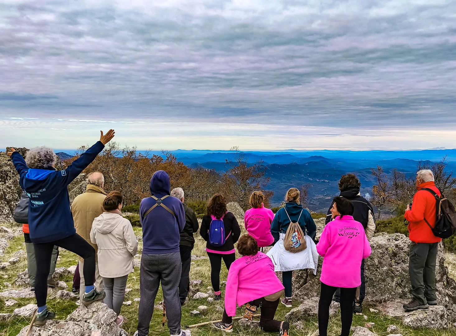
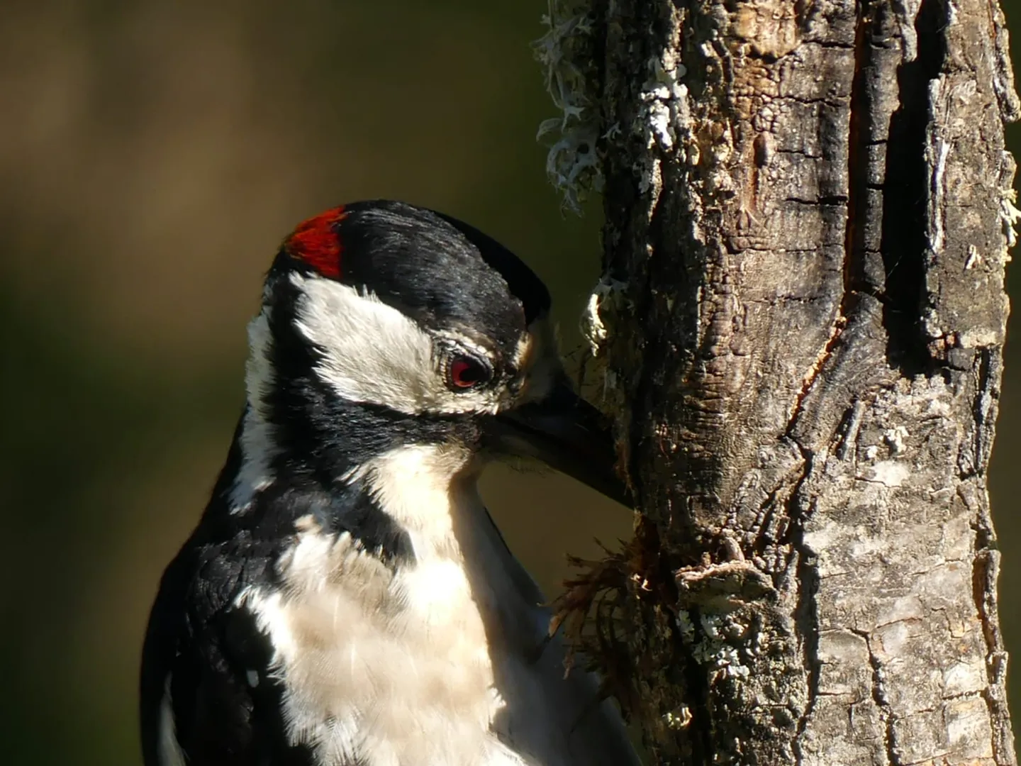
At 1,601 metres, the 360° views from the summit of this giant are breathtaking; unless the clouds roll in, which is likely in winter, although the experience is just as intense. As well as the spectacular rock formations, you can spot some unusual bird species here, such as the red-backed shrike, the Alpine accentor and the red-billed chough, as well as birds of prey like the golden eagle and the griffon vulture.
👀 Km 33 · Viewpoints and ice
A well filled with snow
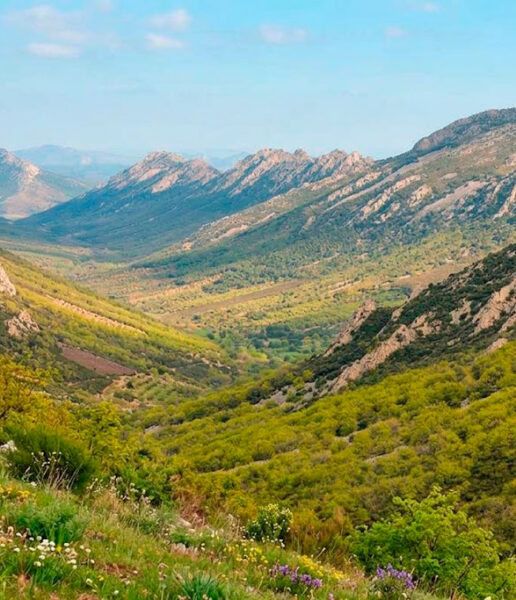
And downwards. On the way down, there are several viewing points, such as La Trinchera (3.8 km), where you can take the obligatory selfies. But we particularly recommend the viewpoint at the Viejas River syncline (1.3 km): as well as the views of this valley, just a few metres’ walk away you can visit the ‘pozo de la nieve’ (snow well), an ancient structure designed by the monks to supply ice to the monastery of Guadalupe and its hospitals.
🔝 Km 41 · UNESCO World Heritage Site
And Guadalupe
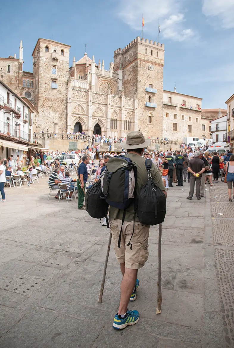
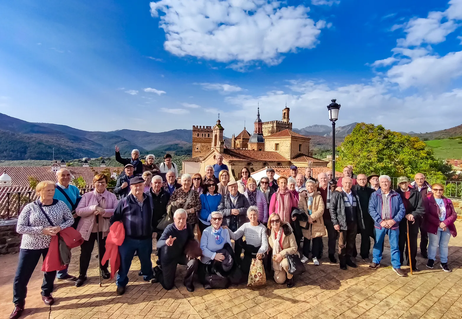
And there you have it – you’ve made it: the best possible ending. The town of Guadalupe is a historic site, but its monastery is a World Heritage Site – no small feat; the jewel in the crown. And as you’ll no doubt be hungry, it turns out you’ve come to just the right place: black pudding, roasts and goat or lamb stews, monastic cuisine, cheeses, sweets… rock, rock, rock.
 Spanish
  English