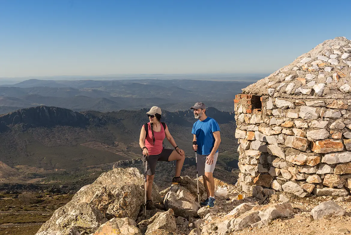
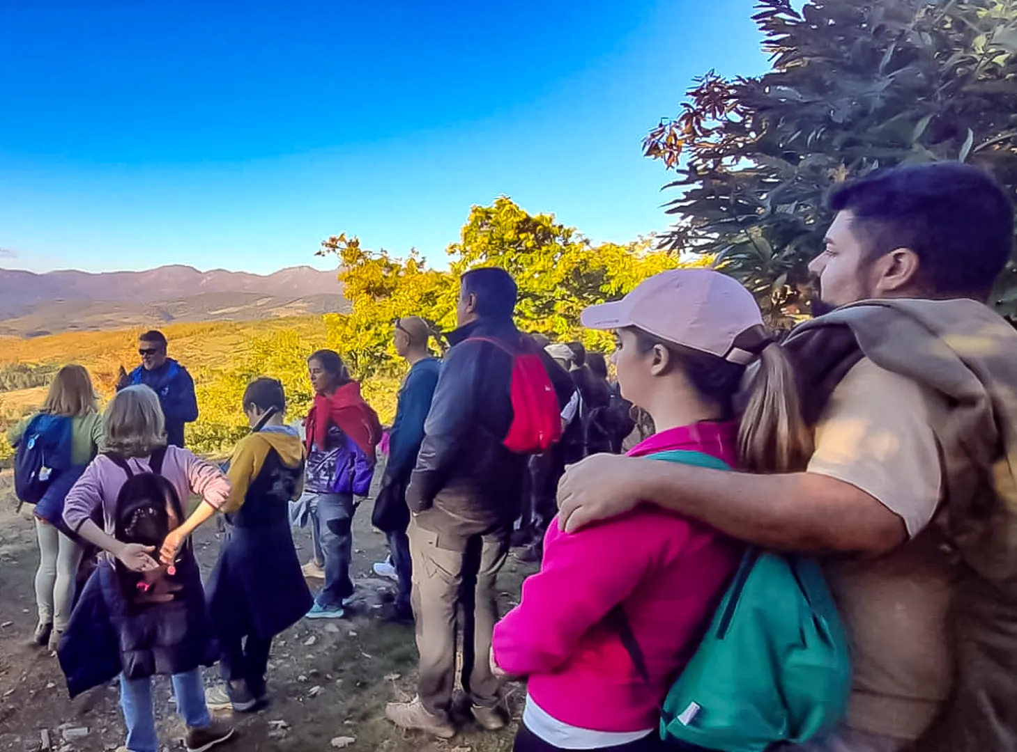
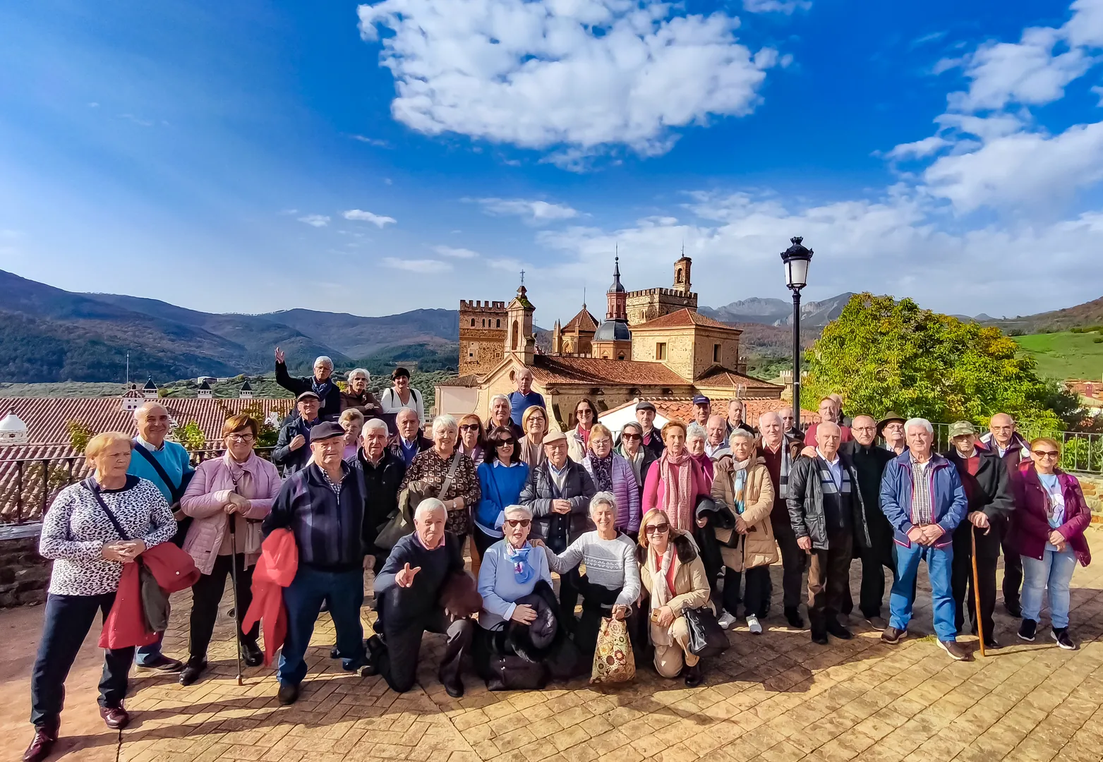
Have you heard of the Geological Trail of Villuercas Peak? Well, just imagine an 11-kilometre linear route, with the highest peak in the region accessible by car, to 1,601 metres high, and views of this Appalachian-style landscape that’ll leave you speechless.
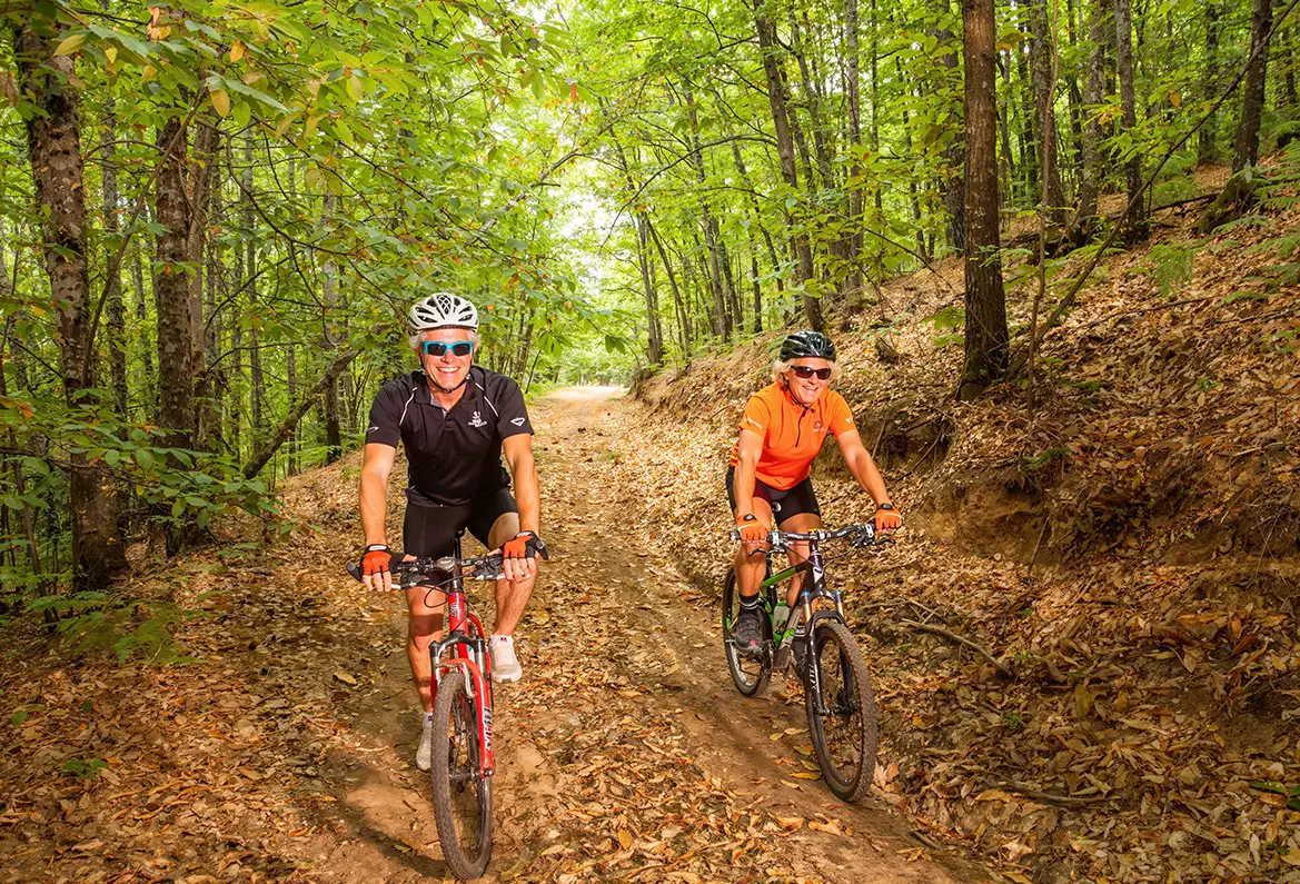
You start at the Humilladero chapel, near Guadalupe, and you head up a tarmac track, it’s easy – you won’t break a sweat if you go by car or motorbike, although you can also do it by bike, and that makes a big difference.
On the way, take a detour to the Ark of Water, a medieval settlement founded by the monks of Guadalupe. Further on, the snow pit; on one side the Viejas River valley and on the other hand, that of the Guadalupejo, each one more amazing than the last. And up we go – bang!
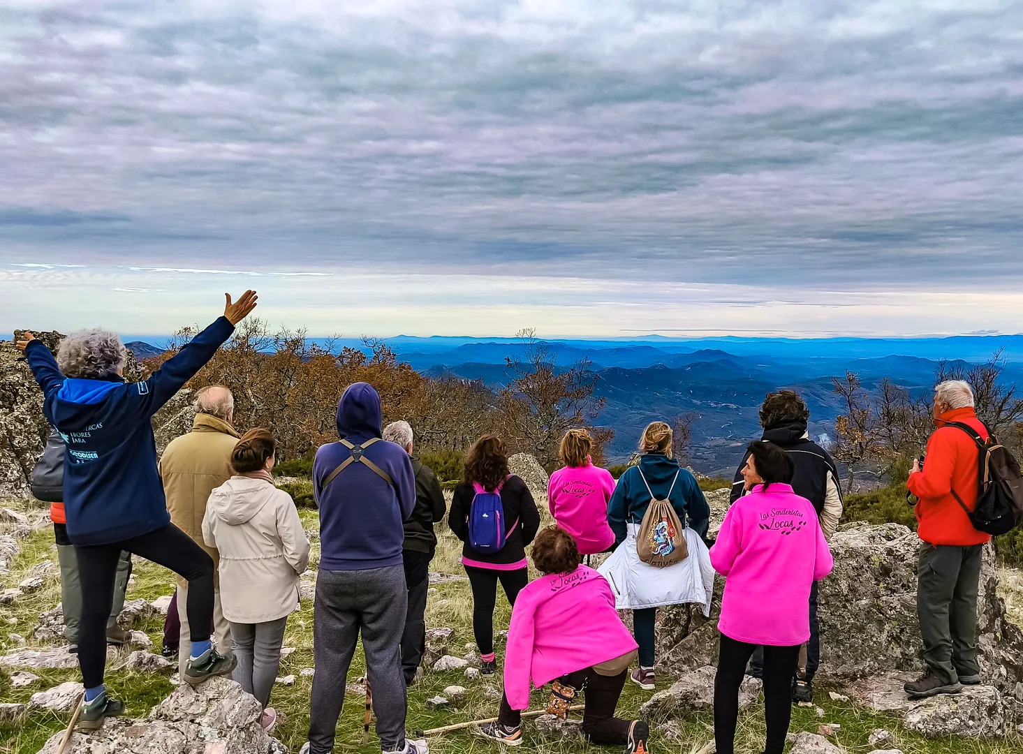
Spectacular viewpoints for admiring the landscape of these mountain ranges stretching out in a line, the erosion that sculpted this wild landscape; they are not just rocks, but ever-changing vegetation, birds singing, and magnificent skies. It’s cultural, ecological and geological all rolled into one. Perfect for a day out.


 Spanish
  English